This tour starts in Handegg, a small village on the road that leads to the
Grimselpass. You can get there by bus or taxi from Innerkirchen, the place where
the Lauteraar Tour ended. The altitude
of Handegg is 1401 meter. You can gain 366 additional meters by taking the
lift to the Räterichs bodensee (storage reservoir). In both cases you have to
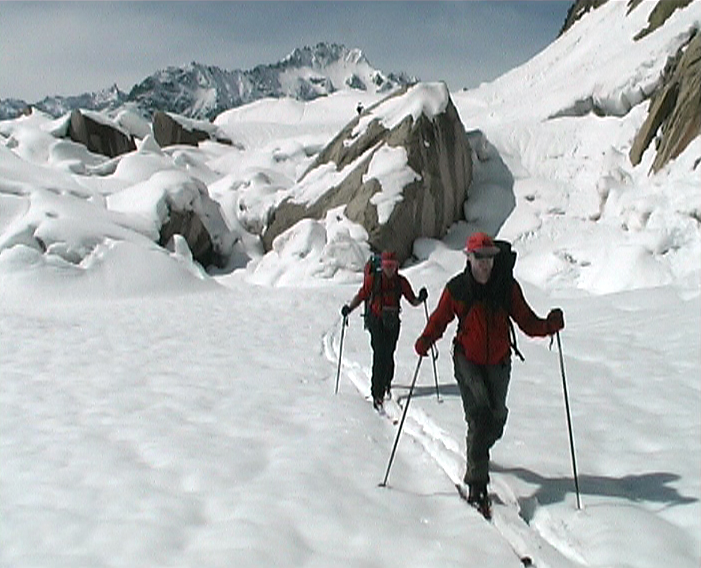
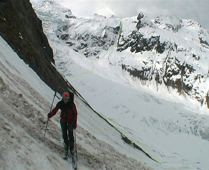
cross a steep part to get to the Gelmersee. The last part to the Gelmer hutte is
steep as well. Due to this steepness you need safe (avalanche) conditions. This
counts for nearly every day, including the alternative routes described by this
tour plan. The Gelmer hutte (2412m) is the first hut in this tour and likely to
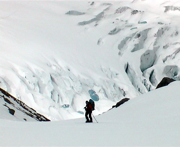
be unguarded. From the Gelmer hutte you can reach the Diechterlimi, the col that
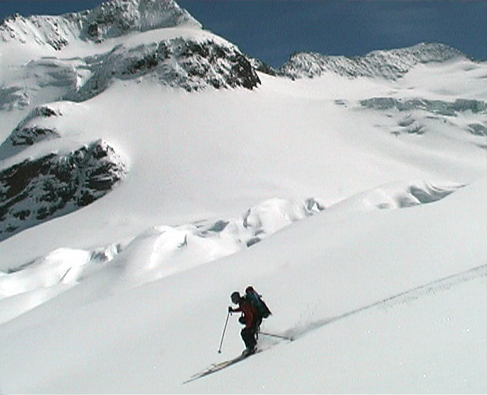
gives you access to the heart of the Urner alps. If you like you might climb up
the Diechterhorn (3389m) as well before you descend to the Triffthutte (2520m).
In this very nice and well situated hut you stay for two days. As a day tour you
might climb the Wijsse Nollen (3397m) and/or the Dammastock (3629m). The route
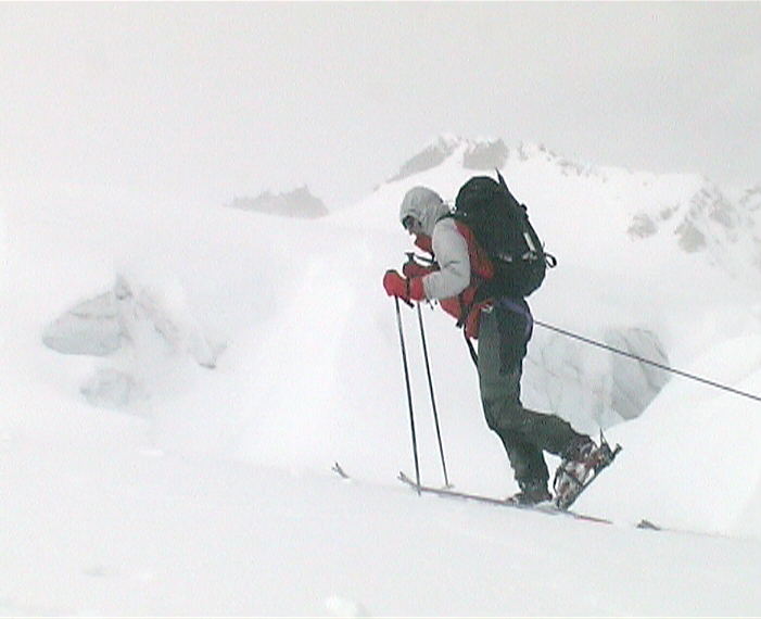
to the Tierberglihutte (2795m) is the most impressive and demanding day. You
will ski and walk down 1062 meters and climb up 1337 meter. This will take about
9 and a half hours under good circumstances. The Tierberglihutte is very popular
due to the easy access from the Sustenpass and the beautiful mountains
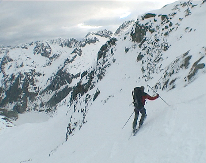
surrounding the hut. This tour brings you on top of the Sustenhorn (3503m). This
one is definitely the most important and most beautiful mountain in the Urner
land. Thanks to the modest steepness of the glacier which goes as far as the
summit it is extremely suited for ski tours. A marvellous descent brings you to
Hotel Steingletscher on the Sustenpass. The rock formations on the other side of
the road are dark and sharp, different from what you have seen the days before.
Next to the Fünffingerstöck you will cross the Obertalljoch from where you can
ski down to the Bivak am Grassen. This tour ends in Engelberg but to get there
you have to enjoy a magnificent descent first.
In combination with the alternative route you create six different tours varying
from 4 to 8 days. In all these tours you have to deal with one or more difficult
traverses. For that reason the Urner Haute Route is rated as SS (sehr schwierig).
Huts
The huts mentioned below will be visited in this tour. The
Gelmerhütte is open but unguarded during the tour ski season. Bivak am Grassen
is a simple shelter. For
additional information you can click the link.